
ApliCAD DigCU1
Digitise cadastral sketches in FX-CC format
Digitising of Spanish CU1 cadastral sketches on AutoCAD Map 3D or Civil 3D with FX-CC output. Includes a free VisualCU1 subscription.
- Vendor
- ApliCAD Developed by ApliCAD
- Works with
- AutoCAD Map 3D · Civil 3D
- Annual rental
- Request a quote
ApliCAD DigCU1 is ApliCAD’s tool for digitising CU1 cadastral sketches. It runs on AutoCAD Map 3D or AutoCAD Civil 3D and is compatible with versions 2020 to 2024 (64-bit).
It includes a free subscription to ApliCAD VisualCU1, the standalone FX-CC sketch viewer, so the rest of the office can consult and print sketches without a CAD licence.
Features
Digitise cadastral sketches in FX-CC format
Georeferenced CU1 sketches
Draw and edit property sketches with the structure and validations of the FX-CC format.
Inside AutoCAD Map 3D
Work with the precision and tools of the CAD your team already uses.
VisualCU1 included
Free subscription to the VisualCU1 viewer to consult and print sketches without CAD.
Related products
 Developed by ApliCAD
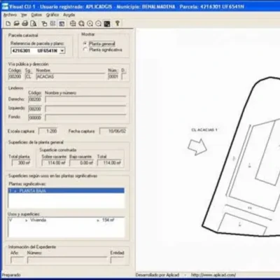
 ApliCAD VisualCU1
Standalone viewer to consult and print georeferenced cadastral sketches in FX-CC format. Needs no CAD or other software; the graphic companion for tax management applications.
- No CAD required
 Developed by ApliCAD
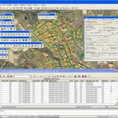
 ApliCAD Urbana
Loading, editing and maintenance of urban cadastral mapping in FICC-MUC format on AutoCAD Map 3D, integrated with the urban property data of the FIN-DGC.
- AutoCAD Map 3D
- Civil 3D
 Developed by ApliCAD
 ApliCAD CARTO
GIS project manager on AutoCAD Map 3D and Civil 3D that brings Spanish cadastral parcels, CARTOCIUDAD and Bing maps into a single map base for cadastre, planning and public works.
- AutoCAD Map 3D
- Civil 3D