
ApliCAD CARTO
Mapping module for cadastral regularisation
GIS project manager on AutoCAD Map 3D and Civil 3D that brings Spanish cadastral parcels, CARTOCIUDAD and Bing maps into a single map base for cadastre, planning and public works.
- Vendor
- ApliCAD Developed by ApliCAD
- Works with
- AutoCAD Map 3D · Civil 3D
- Annual rental
- Request a quote

ApliCAD CARTO is a general-purpose GIS project manager designed to handle large volumes of maps from different sources concurrently and to provide a unified map base for cadastre, urban planning, public works, infrastructure or street directories. The system manages map editing and query tasks from a distributed index database that lets a group of users work on the same project at once.
ApliCAD CARTO integrates the Spanish Cadastre (DGC) parcel maps and the IGN CARTOCIUDAD provincial maps directly into your projects, applying styles, optimising display ranges and enabling address searches. It also brings in Bing Maps interactive mapping, orthophotos and vector cartography with global coverage.
Combined with ApliCAD RCAT (database and document management) it covers every need of a cadastral regularisation process.
Features
Mapping module for cadastral regularisation
Unified map base
Handles large volumes of maps from different sources concurrently through a distributed index database.
DGC parcels and CARTOCIUDAD
Loads the Spanish cadastral parcel map and IGN provincial maps with styles, display ranges and address search.
Interactive mapping
Bing Maps orthophotos and vector mapping with global coverage inside the project.
Related products
 Developed by ApliCAD
 ApliCAD RCAT
Database and document management for Spanish cadastral regularisation processes (PRC). Generates the files and forms required by SEGIPSA and the FOIIC incident delivery file.
- No CAD required
 Developed by ApliCAD
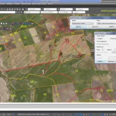
 ApliCAD Rústica
Loading, editing and maintenance of rural cadastral mapping in FICC-MUC format on AutoCAD Map 3D, with FIN-DGC data processing and bulk FX-CC generation.
- AutoCAD Map 3D
- Civil 3D
 Developed by ApliCAD
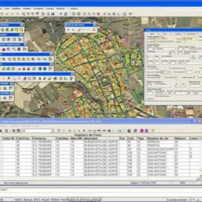
 ApliCAD Urbana
Loading, editing and maintenance of urban cadastral mapping in FICC-MUC format on AutoCAD Map 3D, integrated with the urban property data of the FIN-DGC.
- AutoCAD Map 3D
- Civil 3D
 Developed by ApliCAD
 ApliCAD DigCU1
Digitising of Spanish CU1 cadastral sketches on AutoCAD Map 3D or Civil 3D with FX-CC output. Includes a free VisualCU1 subscription.
- AutoCAD Map 3D
- Civil 3D