ApliCAD Urbana
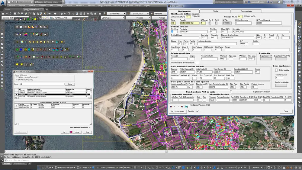
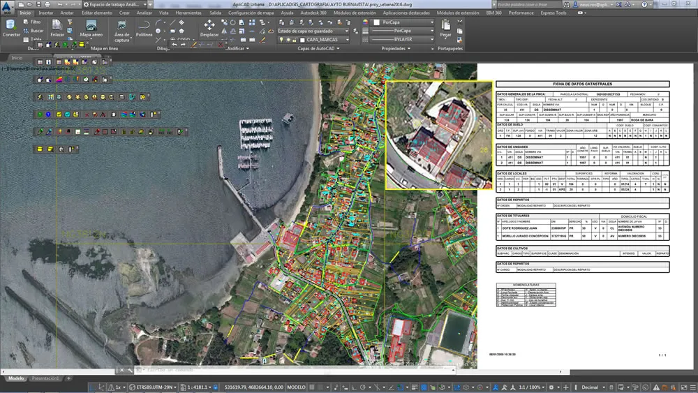
Enables the loading, editing and maintenance of urban cadastral cartography in FICC-MUC format integrated with FIN-DGC urban real estate data.

Enables the loading, editing and maintenance of urban cadastral cartography in FICC-MUC format integrated with FIN-DGC urban real estate data.

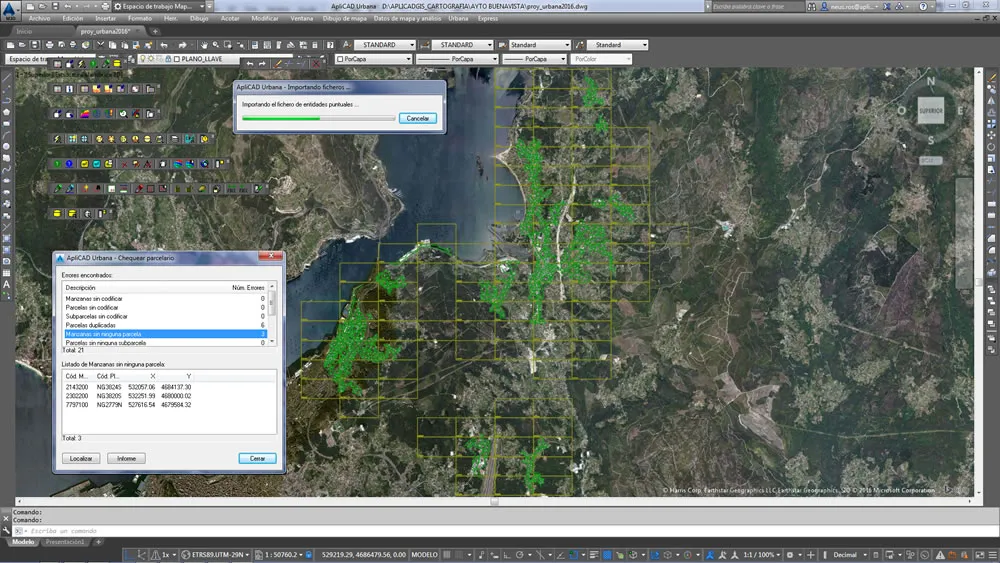
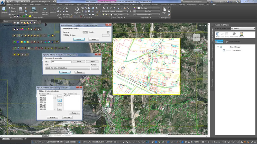
ApliCAD Urbana manages the tasks of editing and consultation of urban parcels from a single work session and a key plan that automatically generates the application. It has search functions for parcels and streets as well as queries by window and contour. It also generates index databases that facilitate project management and substantially improve system performance.
ApliCAD Urbana takes advantage of the environment and the powerful tools of AutoCAD MAP, incorporating a working methodology that streamlines to the maximum the activity of digitizing, editing and maintenance of cadastral mapping, being easily parameterizable, since it takes into account possible variations of the cadastral coding, so that they can be introduced in a quick and easy way. ApliCAD Urbana automatically assigns the graphic characteristics (line type, layer, color, etc.) of the entities to be digitized and manages the processes of topological structuring and error detection.

Requires AutoCAD MAP 3D, or CIVIL 3D


It is sold on a rental basis, including technical support and new versions derived from regulatory changes, or the required Autodesk version.
It is necessary to have AutoCAD MAP or AutoCAD CIVIL for its operation.
You can download the latest version from the download area.
It is necessary to have AutoCAD MAP 3D or AutoCAD CIVIL 3D for its operation.